-40%
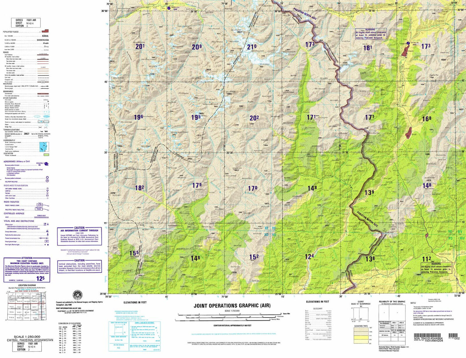
Military Topographic Map Chitral Pakistan Afghanistan Joint Operations Graphic
$ 18.45
- Description
- Size Guide
Description
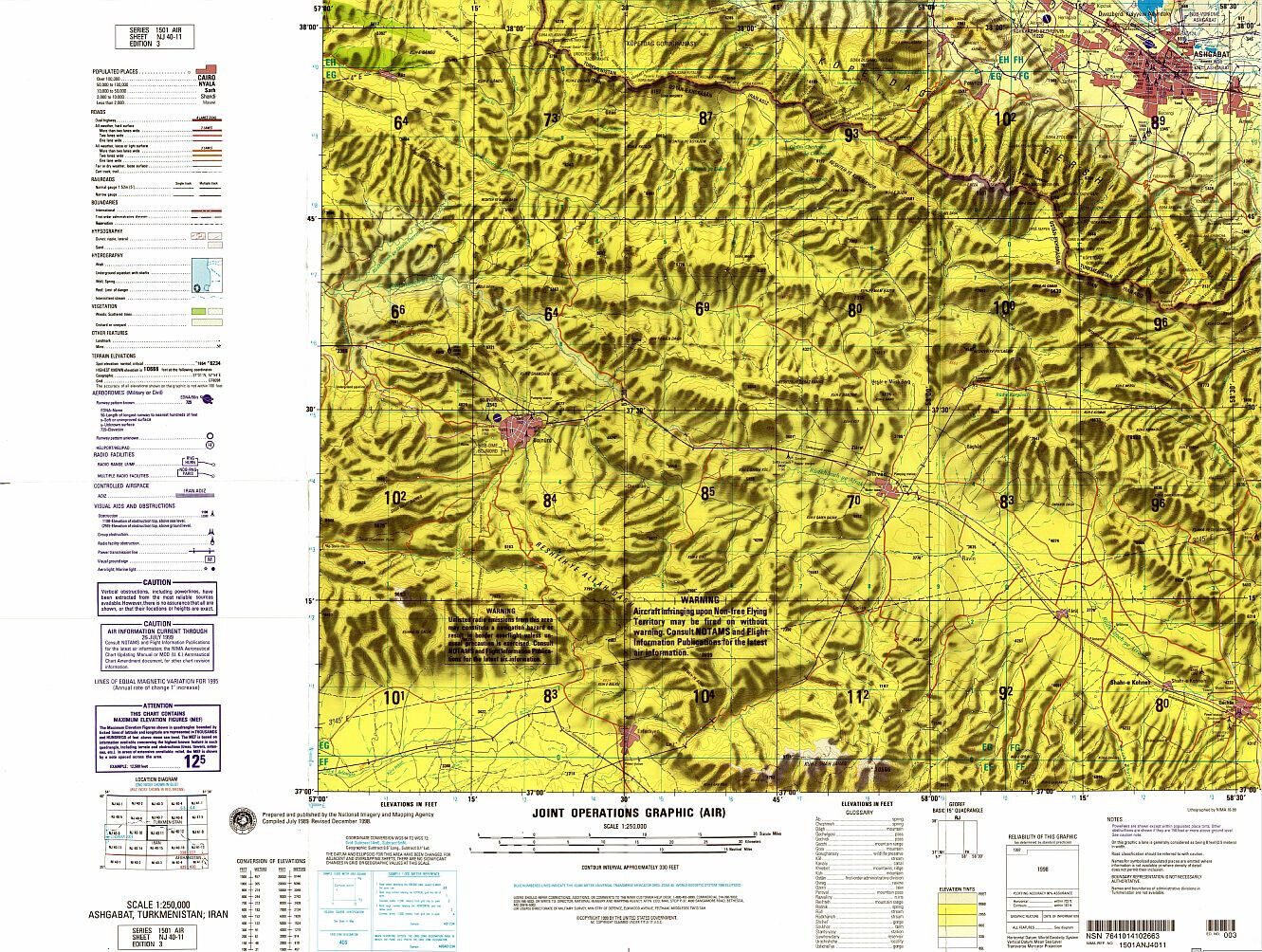
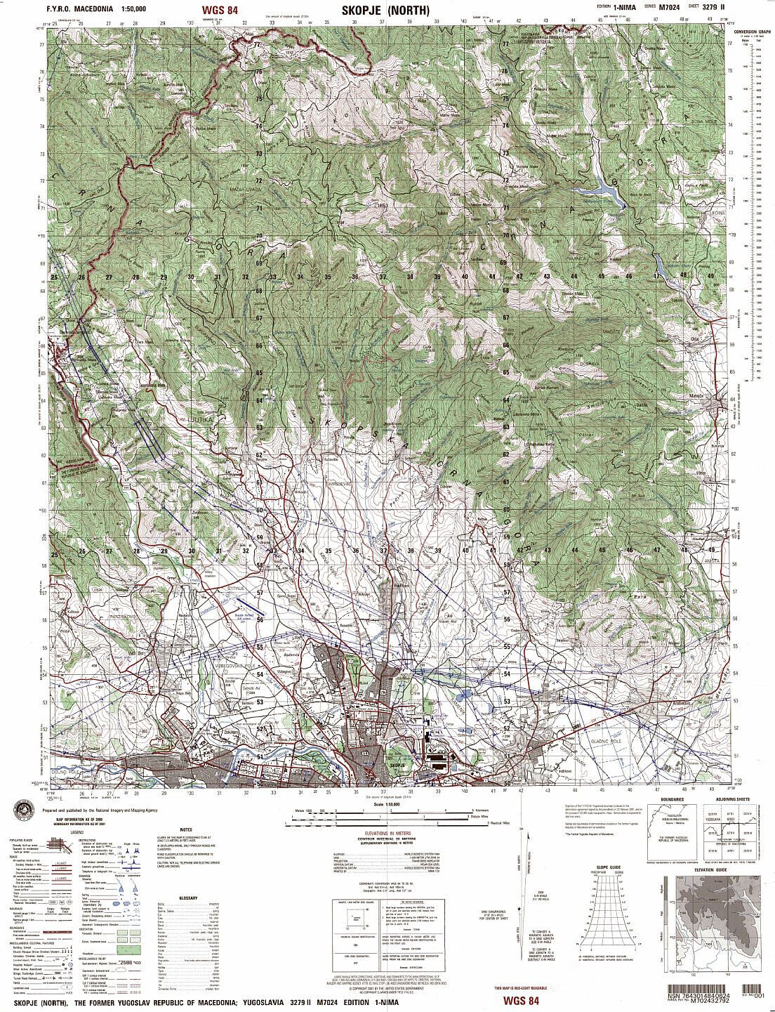
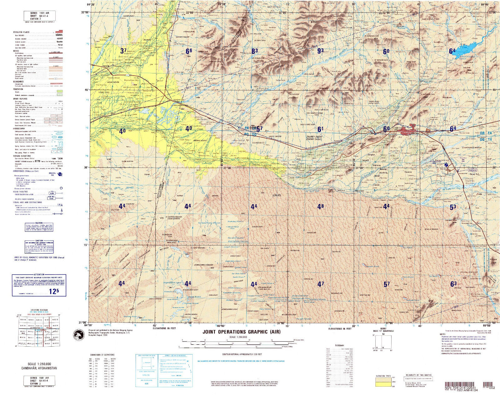
American Military Topographic Map of Pakistan and Afghanistan, covering the city of Chitral and its surroundings.Map prepared by the US National Imagery and Mapping Agency
Series 1501 AIR (Joint Operations Graphic - Air) Sheet no. NI 42-04
at the scale of 1:250,000
Unique, highly detailed topographic map, surveyed in 1998 and published in 2001. Full-color digital print.
Sheet size 29 * 22.5 in.
Map will be shipped folded.
