-40%
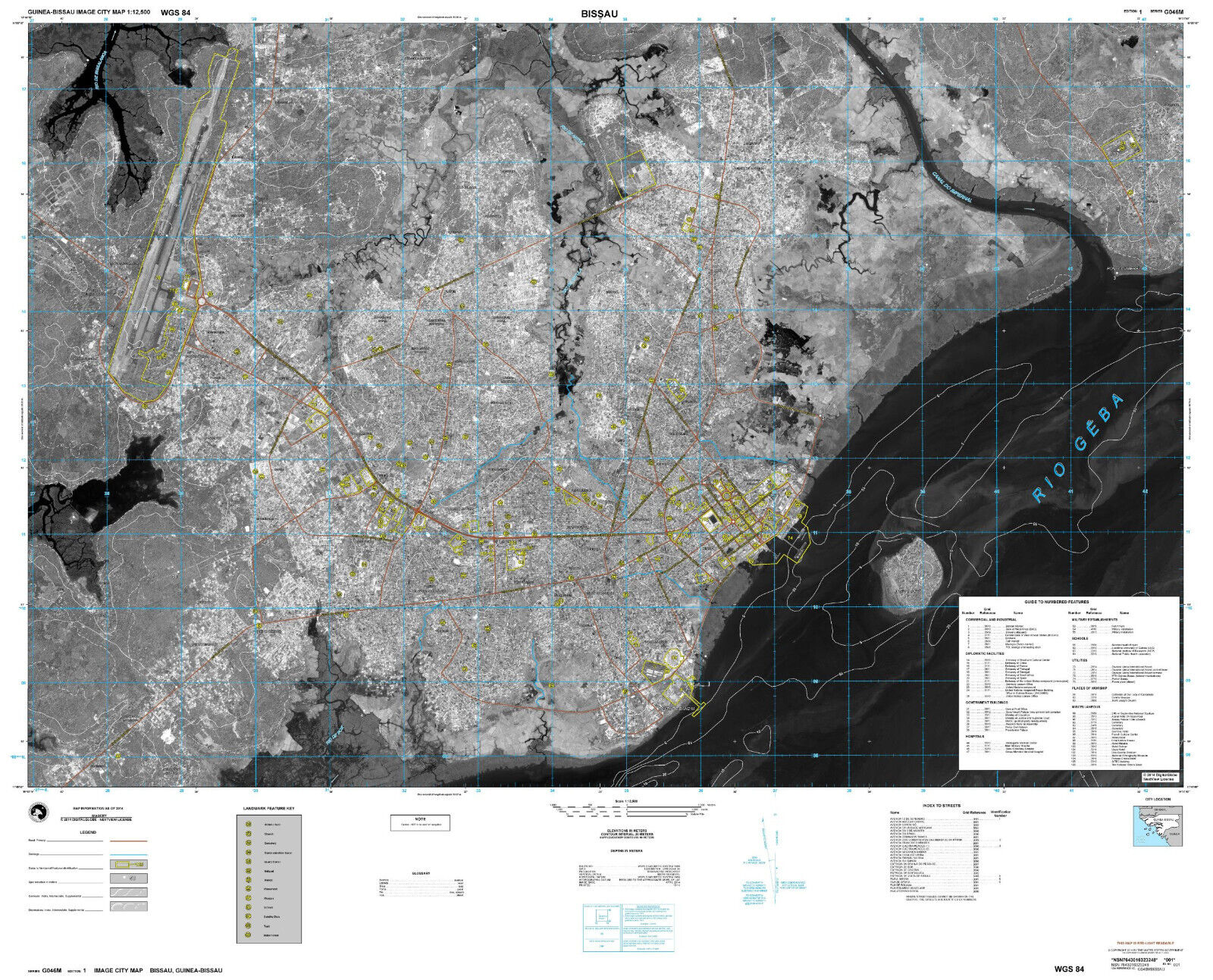
Bissau Satellite Image City Map - Guinea-Bissau - 1:12,500 - US Army
$ 52.77
- Description
- Size Guide
Description
Military Topographic / Satellite Image City Map of Bissau.Prepared by the US National Geospatial-Intelligence Agency. Satellite Imagery by Digital Globe / Maxar.
Series G046M. Sheet Bissau covering the capital of the Republic of Guinea-Bissau
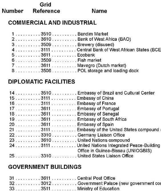
at the scale of 1:12,500. Includes a detailed listing of all military, government and public buildings.
Unique, highly detailed, satellite image map
published in 2014 by the National Geospatial-Intelligence Agency. Full-color digital print.
Sheet size 52 * 42 in.
Map will be shipped folded.
